An earthquake centered off the coast of Maine shook the region on Monday, causing light to shake across the state as well as parts of Rhode Island, Massachusetts, New Hampshire and Connecticut.
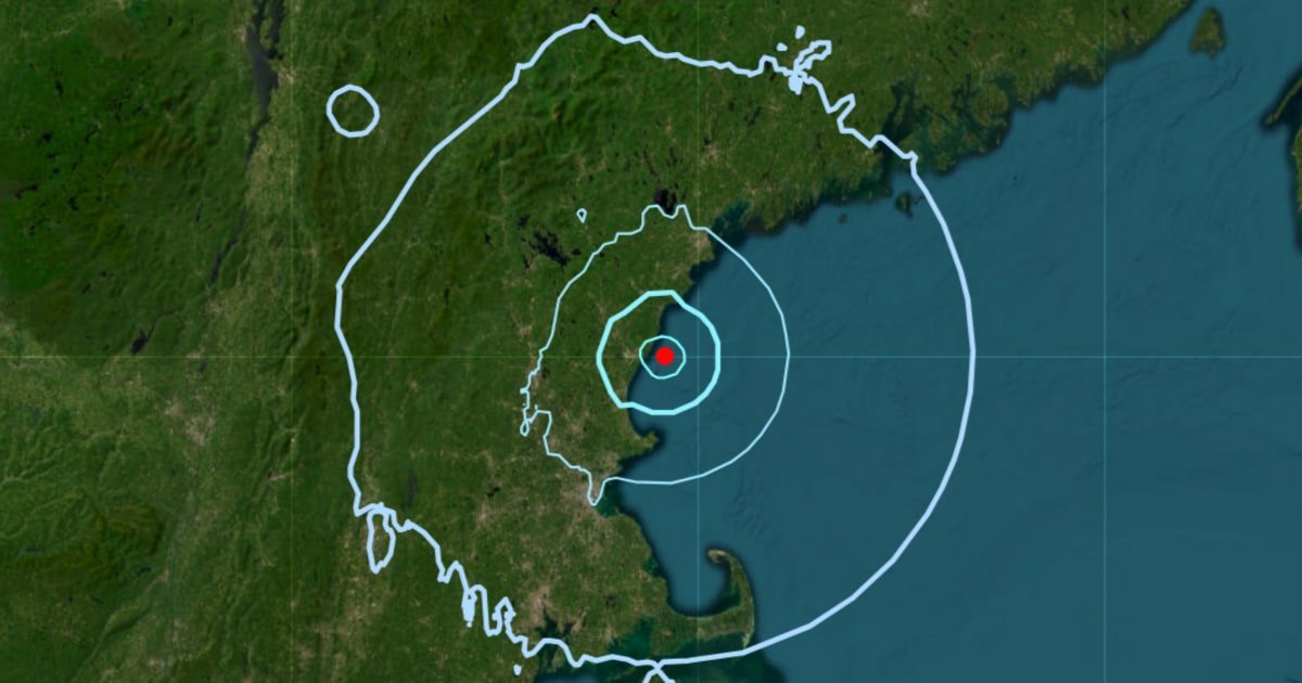
The US Geological Survey recorded the earthquake as a magnitude 3.8 tremor that struck shortly before 10:30 a.m. ET. The epicenter was off the coast of York Harbor, Maine, approximately 45 miles southwest of Portland.
The National Weather Service has not issued any tsunami watches, warnings or advisories since, and so far there have been no reports of deaths or significant damage.
The USGS forecast shows a 15% chance of at least one aftershock of magnitude 3 or greater within the next week.
The event was the strongest earthquake measured in the northeastern United States since April, when a magnitude 4.8 earthquake struck near Lebanon, New Jersey. That tremor was the most intense in the Northeast in more than a decade, according to USGS records.
The agency wrote in X that the tremor “reminds us that earthquakes are unusual but not unknown along the Atlantic coast.”
Earthquakes in the Northeast are relatively rare, meaning even minor shaking can sometimes cause damage because the region is not as prepared for earthquakes as the country’s seismic hot spots.
The Maine Emergency Management Agency confirmed the morning earthquake in a statement on X, adding that people who felt shaking in the area should report their observations to the USGS Earthquake Hazards Program.