Every year between fall and spring, Southern Californians experience gusts of dry wind that can cause runny noses or watery eyes and sometimes powerful enough to stop traffic or blow down trees.
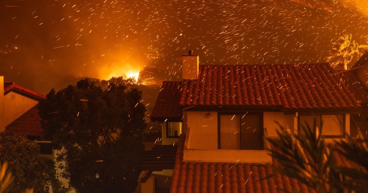
The Santa Ana winds, as they are known, are a natural phenomenon made possible by the geography of the western U.S. They become particularly dangerous when combined with other weather conditions such as drought, increasing the risk of wildfires. like the ones they are currently whipping. in the Los Angeles area.
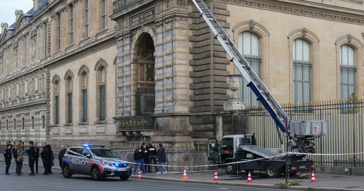
This year’s gusts, which at times approached hurricane strength, were more widespread than usual. Coupled with an exceptionally dry winter, they created ideal conditions for fires to spread. About 29,000 acres have been burned by the Palisades and Eaton fires that started Tuesday, as well as three smaller fires that started Wednesday.
“The low moisture content in the vegetation that we have in these extremely dry periods leads to these highly vulnerable conditions,” said Mark Gold, director of water scarcity solutions at the Natural Resources Defense Council. “And boy, when a big Santa Ana hits, that’s when the nightmare really begins for our firefighters.”
The Santa Ana winds form in a western area of the country known as the Great Basin, which includes Nevada and part of Utah. The basin is located at a higher elevation than Southern California.
In the coldest months (typically September through May), cold air from the basin is forced downhill and westward toward areas of low pressure along the Southern California coast. As the air travels, it passes through mountain passes and canyons, gaining speed and becoming hotter and drier along the way.
By the time they reach Southern California, winds can move as fast as 40 mph, with gusts that are even stronger.
Robert Fovell, a professor of atmospheric and environmental sciences at the University at Albany, said the windiest areas tend to be Ventura County in Los Angeles and Santa Ana in Orange County, from which the winds derive their name.
But this year, he said, the winds were able to travel over the San Gabriel Mountains to Pasadena and Altadena, where the Eaton Fire is located.
“It overcame the San Gabriel Mountains and formed what’s called a downslope wind storm,” he said. “That pointed to the strongest winds in the foothills around Eaton Canyon.”
Tripti Bhattacharya, an associate professor of earth and environmental sciences at Syracuse University, said their models do not predict that Santa Ana winds will get worse this century. But they do predict greater overlap between winds and fire season, he said, creating more opportunities for devastating fires like those seen this week.
“In California, we used to think fires happened in late summer, but now fire season extends into January,” Bhattacharya said. “Therefore, the fire season is more likely to coincide with the Santa Ana winds in the future.”